
This mornings forecaster discussion.
Short term...
today and tonight...
will need to keep this short due to the complicated nature of this
forecast cycle. All models continue to indicate a near bomb low
pressure coming through Missouri to reach Chicago by late Thursday
afternoon. Today is benign...with clouds and seasonal temperatures
for the most part...though a few degrees above normal. Highs in the
middle 30s north to lower 40s south with strengthening east winds to 15
miles per hour during the day.
Tonight...there is still much disagreement on low level thermal
parameters...with two model clusters on 850/925mb temperatures. The
NAM/high res nmm/high res arw/European model (ecmwf) all show the rain to snow line /
0c or slightly colder at said levels...to be from Fairfield to
Moline...to Sterling Illinois. The GFS and UKMET are warmer...with this
line up to Iowa City to Stockton Illinois...from 06z all the way to 12z
before crashing southeast. Thus...there is still uncertainty on
ptype overnight. The milder GFS/UKMET will hammer the northwest 1/3
of the County Warning Area with heavy snow...as does all other model guidance.
Liquid quantitative precipitation forecast of 0.5 to 0.7 is likely tonight in most locations...and
northwest of a Ottumwa to Iowa City to Galena line...this should
fall has heavy snow. Winds...especially after 06z will become very
strong from the north/northeast over the heavy snow areas...and
blizzard conditions will develop. A Blizzard Warning will be issued
for much of east central Iowa and northeast Iowa...as well as Jo
Daviess County...though mainly for the impacts in northwest sections
of that County. Overnight snow totals of 5 to 9 inches appear
likely northwest of that line...with the event peaking after 12z
Thursday. For locations just southeast of this line...including
Mount Pleasant through the quadrant cities...to Freeport...a challenging
mix of rain/rain and snow mix/possible sleet and thunderstorms are
possible. And if the first model cluster of lower level thermal
parameters are correct...this axis could see significant snow
overnight as well. For now...will be conservative and hold off on
any overnight headline and have a sharp cut off on snow
accumulations to zero southeast of Burlington to Moline...to
Sterling. Rainfall may cut off for a while after 06z Thursday in the
southeast as a dry slot begins to move up into Illinois.
After 00z...the combination of heavy snow and increasing blowing
snow...will cause major travel hazards in east central Iowa as we
approach 06z. After 06z...strong winds...heavy snow...Gravity
waves and thundersnow are possible. All of these features lead US
to start and end the event with one Blizzard Warning in those
locations...while others seeing the event mainly during the day
Thursday remain free of overnight headlines. Ervin
Long term...
Thursday through Tuesday...
forecast focus on major winter storm on Thursday then dry but cold
through the weekend. Low confidence on next week's storm system.
Thursday and Thursday night...major winter storm centered near
Quincy at 6 am Thursday will be tracking to SW lower Michigan by evening.
As the cyclone moves east the rain/snow mix roughly near and east of
the MS river early in the morning will be changing over to heavy
snow at most locations later in the morning...continuing into the
afternoon. West of the MS river heavy snow will be ongoing in the
morning then gradually diminishing in the afternoon. Combine that
with 50-55+ miles per hour wind gusts and life threatening blizzard conditions
will be occurring most areas on Thursday. With these intense
cyclones there could also be Gravity waves that develop for brief
periods and cause 60+ miles per hour wind gusts.
Snow totals from Wednesday evening through Thursday evening will
range from 12 to 16 inches across portions of northeast Iowa and far
northwest Illinois to 2 to 4 inches in our far southeast County Warning Area. Will linger a chance of
light snow in our far eastern counties Thursday evening but areas of
blowing snow will continue cwa-wide. Later Thursday night the
winds/blowing snow will be diminishing. Temperatures will be likely
falling from early morning highs on Thursday. Lows Thursday night will
plummet into the single digits especially where the deepest snow
cover will be.
Friday through Sunday...after the passage of the major storm system
operational models quickly return a zonal flow to the Midwest.
Typically this would bring milder air but with deep snow cover in
place temperatures will be cold. Will forecast maximum temperatures only in the
20s where the deepest snow will be to the lower to middle 30s far
south. Lows will be in the single digits north to teens south.
Early next week...low confidence in the handling of potentially
another winter storm around Christmas. While earlier model runs were
indicating a snow storm in the Midwest the European model (ecmwf)/GFS 00z run has
greatly diminished this threat...taking the storm south and east of
the dvn County Warning Area. However...we have seen this picture before and later
model runs may return the snow storm to the Midwest after all. For
now will continue with chance probability of precipitation. Stay tuned.
Check out this forecast!
Moderators: lucky1, Alchris, Kansas, Wes North Van, Laaz
Check out this forecast!
<img src="http://weathersticker.wunderground.com/ ... rfield.gif" alt="Click for Fairfield, Iowa Forecast" border="0" height="60" width="468" />
Last time a storm like this was forecast................
Yes,it is the one they call Draco-it is forecast to bomb out as it makes it's turn to the north and east.
Last time we had a storm like this it collapsed my cactus shelter!
<a href="http://s297.photobucket.com/albums/mm22 ... -11007.jpg" target="_blank"><img src="http://i297.photobucket.com/albums/mm22 ... -11007.jpg" border="0" alt="Photobucket"></a>
<a href="http://s297.photobucket.com/albums/mm22 ... -11006.jpg" target="_blank"><img src="http://i297.photobucket.com/albums/mm22 ... -11006.jpg" border="0" alt="Photobucket"></a>
<a href="http://s297.photobucket.com/albums/mm22 ... -11001.jpg" target="_blank"><img src="http://i297.photobucket.com/albums/mm22 ... -11001.jpg" border="0" alt="Photobucket"></a>
<a href="http://s297.photobucket.com/albums/mm22 ... -10006.jpg" target="_blank"><img src="http://i297.photobucket.com/albums/mm22 ... -10006.jpg" border="0" alt="Photobucket"></a>
<a href="http://s297.photobucket.com/albums/mm22 ... -10002.jpg" target="_blank"><img src="http://i297.photobucket.com/albums/mm22 ... -10002.jpg" border="0" alt="Photobucket"></a>
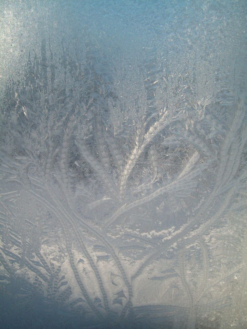
Frozen window
<a href="http://s297.photobucket.com/albums/mm22 ... -11002.jpg" target="_blank"><img src="http://i297.photobucket.com/albums/mm22 ... -11002.jpg" border="0" alt="Photobucket"></a>
Last time we had a storm like this it collapsed my cactus shelter!
<a href="http://s297.photobucket.com/albums/mm22 ... -11007.jpg" target="_blank"><img src="http://i297.photobucket.com/albums/mm22 ... -11007.jpg" border="0" alt="Photobucket"></a>
<a href="http://s297.photobucket.com/albums/mm22 ... -11006.jpg" target="_blank"><img src="http://i297.photobucket.com/albums/mm22 ... -11006.jpg" border="0" alt="Photobucket"></a>
<a href="http://s297.photobucket.com/albums/mm22 ... -11001.jpg" target="_blank"><img src="http://i297.photobucket.com/albums/mm22 ... -11001.jpg" border="0" alt="Photobucket"></a>
<a href="http://s297.photobucket.com/albums/mm22 ... -10006.jpg" target="_blank"><img src="http://i297.photobucket.com/albums/mm22 ... -10006.jpg" border="0" alt="Photobucket"></a>
<a href="http://s297.photobucket.com/albums/mm22 ... -10002.jpg" target="_blank"><img src="http://i297.photobucket.com/albums/mm22 ... -10002.jpg" border="0" alt="Photobucket"></a>
Frozen window
<a href="http://s297.photobucket.com/albums/mm22 ... -11002.jpg" target="_blank"><img src="http://i297.photobucket.com/albums/mm22 ... -11002.jpg" border="0" alt="Photobucket"></a>
<img src="http://weathersticker.wunderground.com/ ... rfield.gif" alt="Click for Fairfield, Iowa Forecast" border="0" height="60" width="468" />
-
lucky1
- Arctic Palm Plantation
- Posts: 11325
- Joined: Sun Feb 18, 2007 7:31 pm
- Location: Vernon BC, Zone 5a or 5b (close to 6A!)
Great frozen window pic, Jim!
I remember that terrible GH collapse.
Nothing will collapse your stronger panels now!
Quite the thorough weather report.
Never heard of gravity waves before.
Heard this morning that the system that is dumping rare snow on Vancouver BC (west coast) is a VERY COMPLICATED SYSTEM.
Should be into the midwest in a week, but probably north of you.
Sounds like an interesting Christmas day.
Barb
<img src="http://weathersticker.wunderground.com/ ... anguage=EN" alt="Find more about Weather in Vernon, CA" width="160" />
If you drink, don't drive. Don't even putt.
If you drink, don't drive. Don't even putt.
-
canadianplant
- Clumping Palm
- Posts: 2399
- Joined: Wed Jan 27, 2010 6:41 pm
Wow... I really hope I end up with some of that snow. At least it will insulate the ground pretty good (as long as it doesnt crush the hoophouse again :S
"The definition of insanity, is doing the same thing over and over, and expecting different results" - einstien
Check out my new Blog! http://canadianplant.wordpress.com/
<a href="http://www.wunderground.com/global/stat ... big2"><img src="http://weathersticker.wunderground.com/ ... /71749.gif" alt="Click for Thunder Bay, Ontario Forecast" border="0" height="60" width="468" /></a>
Check out my new Blog! http://canadianplant.wordpress.com/
<a href="http://www.wunderground.com/global/stat ... big2"><img src="http://weathersticker.wunderground.com/ ... /71749.gif" alt="Click for Thunder Bay, Ontario Forecast" border="0" height="60" width="468" /></a>
At least they haven't mentioned tropofolds yet!
<img src="http://weathersticker.wunderground.com/ ... rfield.gif" alt="Click for Fairfield, Iowa Forecast" border="0" height="60" width="468" />
-
lucky1
- Arctic Palm Plantation
- Posts: 11325
- Joined: Sun Feb 18, 2007 7:31 pm
- Location: Vernon BC, Zone 5a or 5b (close to 6A!)
Tropofolds?
...not often that Wikipedia doesn't come up with an answer.
...not often that Wikipedia doesn't come up with an answer.
<img src="http://weathersticker.wunderground.com/ ... anguage=EN" alt="Find more about Weather in Vernon, CA" width="160" />
If you drink, don't drive. Don't even putt.
If you drink, don't drive. Don't even putt.
<img src="http://weathersticker.wunderground.com/ ... rfield.gif" alt="Click for Fairfield, Iowa Forecast" border="0" height="60" width="468" />
-
lucky1
- Arctic Palm Plantation
- Posts: 11325
- Joined: Sun Feb 18, 2007 7:31 pm
- Location: Vernon BC, Zone 5a or 5b (close to 6A!)
Thanks for the link.
Sounds like an out-of-this-world wind shear
Zombie zone indeed!
Fingers crossed Jim that it's not severe as it passes through.
But I'd be out there throwing additional tarps, held by big rocks or ropes, on protected stuff.
Will keep an eye out for your update.
Barb
Sounds like an out-of-this-world wind shear
Zombie zone indeed!
Fingers crossed Jim that it's not severe as it passes through.
But I'd be out there throwing additional tarps, held by big rocks or ropes, on protected stuff.
Will keep an eye out for your update.
Barb
<img src="http://weathersticker.wunderground.com/ ... anguage=EN" alt="Find more about Weather in Vernon, CA" width="160" />
If you drink, don't drive. Don't even putt.
If you drink, don't drive. Don't even putt.
Synopsis...
as of 3 am...a 991mb surface low is located just west of Jefferson
City MO...with rapid pressure falls to the east and northeast of
this low. The rain snow line is approximately from Stockton
Illinois...to Iowa City...to near Ottumwa...with convection along and
south of that axis continuing to produce occasional burst of heavy
wet snow...while a more steady snow continues to the north.
Farther south...upright thunderstorms continue to fire from near
kirks ville through the quadrant cities...this convection earlier
brought thundersnow...but is now a mix by latest reports or just
rain. Heavy snow and blowing snow is found from central Iowa
through eastern Kansas. An incredible evolution of dynamics is set
to take place today as a new deformation zone is forecast to
develop over the County Warning Area as temperatures aloft become cold enough for
all snow. During this time...a massive pressure drop is forecast
creating favorable conditions wind gusts up to 60 miles per hour through
this evening.
Short term...
today will be tremendously changeable day...as the central areas
begin with moderate to heavy rain and thunderstorms...then rapidly
change over to heavy wet snow and high winds...blizzard
conditions. Our west should see high winds develop around 5 to 7
am...and a Blizzard Warning continues...now until midnight. Have upgraded
the central counties to Blizzard Warning through midnight as
secondary deformation zone is forecast by all models...and is now
forming in eastern Kansas as shown on satellite and radar. This new
def zone should be very intense...and compared to the current one
over Iowa and Nebraska...it should be smaller in size. This
tightening is common with very intense cyclones...and should not
be viewed as a diminishing feature. The gradient of around 30 mb
over Iowa today should be more than enough for very high winds
sustained around 40 miles per hour...gusting to 50 - 60 miles per hour through this
evening. Tree damage and power-line damage certainly appears likely
due to wet snow accumulation on them stressed farther by high
winds. Visibilities should be sub 1/4 in open areas over most the
County Warning Area in heavy snow today. ... it begins... it appears the
Burlington through quadrant cities to Freeport counties will not
change until 9 am to 11 am...but once it does... a high impact event
will unfold. Rates of 1 to 2 inches per hour should allow for a
quick 4 to 8 inches of snow along the Mississippi River in
southeast Iowa northeast to around Freeport. Heavy quantitative precipitation forecast in models
is concerning for more snow...and will be watched closely as
things evolve...though the wind is as much as a threat as any with
this event.
<img src="http://weathersticker.wunderground.com/ ... rfield.gif" alt="Click for Fairfield, Iowa Forecast" border="0" height="60" width="468" />
-
Beny
- Seedling
- Posts: 368
- Joined: Wed Mar 17, 2010 6:07 pm
- Location: Mirabel,Quebec,Canada zone 5a
- Contact:
Its coming to me...  again...30-40 cm of snow with wind up to 90 km/h....temp. near freezing or just above...second big storm in the same week. Never seen that before. Normally its 1 week between 2 storm. But the last one was monday, and the new one (it located over southern greats lakes now) will begin to affect us tonight.Hope all the protection will go trought, last year we had a storm with winds up to 100 km/h, and all protections was ok
Ben
Ben
-
canadianplant
- Clumping Palm
- Posts: 2399
- Joined: Wed Jan 27, 2010 6:41 pm
Jim, I just took a look at the radar shot..... you mustve had a good one last night. I hope everythings ok
"The definition of insanity, is doing the same thing over and over, and expecting different results" - einstien
Check out my new Blog! http://canadianplant.wordpress.com/
<a href="http://www.wunderground.com/global/stat ... big2"><img src="http://weathersticker.wunderground.com/ ... /71749.gif" alt="Click for Thunder Bay, Ontario Forecast" border="0" height="60" width="468" /></a>
Check out my new Blog! http://canadianplant.wordpress.com/
<a href="http://www.wunderground.com/global/stat ... big2"><img src="http://weathersticker.wunderground.com/ ... /71749.gif" alt="Click for Thunder Bay, Ontario Forecast" border="0" height="60" width="468" /></a>
-
lucky1
- Arctic Palm Plantation
- Posts: 11325
- Joined: Sun Feb 18, 2007 7:31 pm
- Location: Vernon BC, Zone 5a or 5b (close to 6A!)
Beny, saw on the Weather channel what you're up against.
Cars in ditches everywhere...wow

Waiting for Jim to check in...
Barb
Cars in ditches everywhere...wow
Waiting for Jim to check in...
Barb
<img src="http://weathersticker.wunderground.com/ ... anguage=EN" alt="Find more about Weather in Vernon, CA" width="160" />
If you drink, don't drive. Don't even putt.
If you drink, don't drive. Don't even putt.
Unlike the storm of 2 years ago which featured east winds that drifted snow unequally on the cactus enclosure-
this one has winds out of the north so most of the garden is sheltered from direct contact-except the Washy
this one has winds out of the north so most of the garden is sheltered from direct contact-except the Washy
<img src="http://weathersticker.wunderground.com/ ... rfield.gif" alt="Click for Fairfield, Iowa Forecast" border="0" height="60" width="468" />
-
lucky1
- Arctic Palm Plantation
- Posts: 11325
- Joined: Sun Feb 18, 2007 7:31 pm
- Location: Vernon BC, Zone 5a or 5b (close to 6A!)
Maybe tie the enclosure to the porch?except the Washy
Barb
<img src="http://weathersticker.wunderground.com/ ... anguage=EN" alt="Find more about Weather in Vernon, CA" width="160" />
If you drink, don't drive. Don't even putt.
If you drink, don't drive. Don't even putt.
It is secured as good as it's going to be!lucky1 wrote:Maybe tie the enclosure to the porch?except the Washy
Barb
Jesse
We had 1.28" of rain in constant lightning and thunder last night.
Never seen so much energy in the atmosphere in winter!
It was actually scary like a summer thunder boomer!
<img src="http://weathersticker.wunderground.com/ ... rfield.gif" alt="Click for Fairfield, Iowa Forecast" border="0" height="60" width="468" />
Who is online
Users browsing this forum: No registered users and 1 guest